


Events
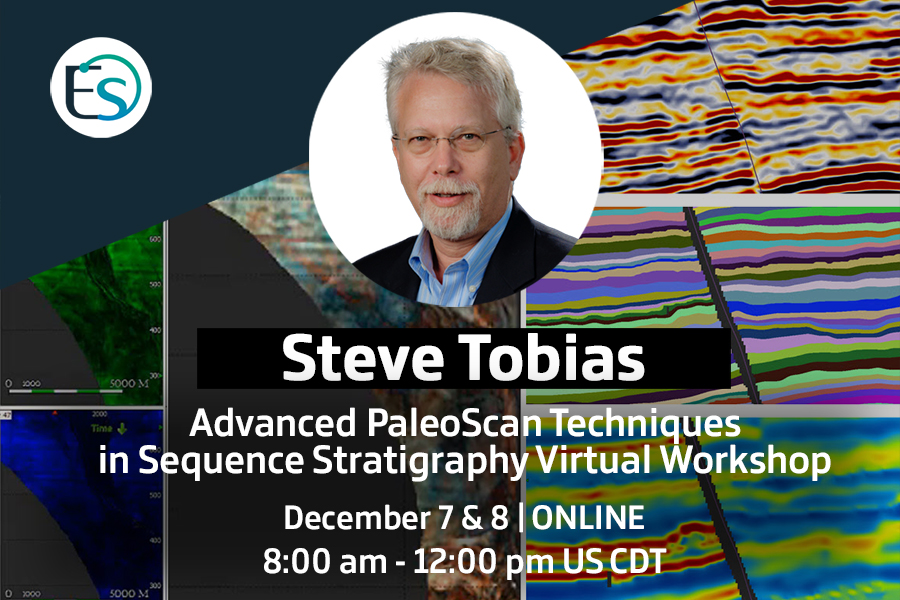
Advanced PaleoScan Techniques in Sequence Stratigraphy Workshop
Overview
It is assumed that the prospective student has taken the introductory PaleoScan™ course or has a working familiarity with the software. Students are encouraged to share their own PaleoScan™ sequence strat experiences.
When
From 8:00 am to 12:00 pm CDT
Price
The best stratigrapher I ever worked with could look at a core laid out on a table, point excitedly to both obvious and subtle features, and then talk at length about the local and regional implications of what we just looked at. He was a joy to listen to, and typically sparked lively discussions. One thing I thoroughly enjoy about sequence stratigraphic workflows with PaleoScan is that you can slide your cursor up and down a well log while you simultaneously show your colleagues a changing view of fit-for-purpose attribute maps and geobodies. It is sometimes even possible to see how the relative regional accommodation space varies up and down the log! Done properly, sequence stratigraphy becomes a collaborative team tool for this very multi-disciplinary undertaking.
There are many questions that sequence stratigraphers face when trying to master PaleoScan™. Do I need a graduate degree in geophysics (No!)? How do I approach unconformities? I can’t find onlaps, offlaps, etc. – how do I pick sequence boundaries? What are my primary deliverables anyway, horizon stacks? How do I know if my interpretation is correct, and when do I stop the front-end interpretation and move on? Parts of my project have poor data, MTC’s, salt and very complex deep-water stratigraphy – are there any tips for what to do here? I’ve heard that expansion faults can make sequence stratigraphy very challenging – how do I approach these areas? Can you explain in clear terms the synergy between model grids, geomodels and sequences, as well as the big picture of how to get from A to Z? Is there a way to integrate paleobathymetry? In addition to these topics, some helpful new concepts such as the “Wheeler Bubble”, “Wheeler Maps” and the “Hard Bottom” will be introduced.
About Steve:
Steve has employed PaleoScan™ software on projects in a variety of deep water, subsalt and onshore settings, in New Ventures, Near Field and development projects. His varied career has taken him to North and South America, South and Southeast Asia, the Middle East and the North Sea. He started with Mobil Oil with an MS in geophysics and worked with Tenneco in Colombia and BHP Petroleum in Australia. He was Pogo Producing’s first international exploration manager when they drilled up the highly prolific Gulf of Thailand. Steve led an international consulting group for seven years, and then co-founded South Bay Resources in 2003, where he generated several dozen exploration and development wells in Texas and Alberta. When gas prices collapsed, he joined Hess to serve in various roles, including subsalt GOM production geophysicist, Manager of Exploration Excellence and Denmark Exploitation manager. In all positions he maintained a hands-on technical role. His specialty is generating new plays and prospects using leading edge integrated technologies.
Steve firmly believes in PaleoScan™ software as a next-generation solution to the “big data” challenge of 3D integrated exploration, development, and production. He has particular interest in the interplay of stratigraphy, structural geology and – surprisingly enough – corporate culture.